Toronto is in for a week of extreme weather fluctuations, with cold temperatures, strong winds, and snow flurries expected to impact the region, according to CP24 Meteorologist Bill Coulter.
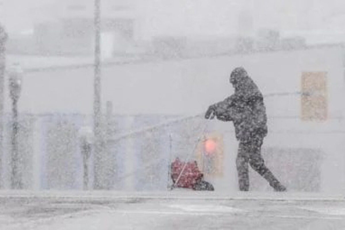
Environment Canada has issued a special weather statement for much of southern Ontario, including the Greater Toronto Area (GTA), warning residents of powerful southwesterly winds gusting between 70 to 80 km/h on Monday. These winds could lead to potential power outages and hazards as they move loose objects and cause tree branches to break.
The temperature in Toronto will reach a high of -1°C today, with a cold front expected to cross overnight, bringing intense flurries from 8 PM to 1 AM, especially to areas north of the city. Snowfall will become heavy near southeastern Georgian Bay, where a blizzard warning has been issued.
“Tomorrow, cold winds will push in, but they’ll temporarily ease before another wave of snow arrives by late afternoon,” Coulter said. This second snowstorm is expected to bring about 5 cm of snow to the region through the evening.
Tuesday’s high will be a chilly -6°C, while Wednesday sees winds continuing but with temperatures rising above freezing, reaching 1°C. A few flurries will be possible.
On Thursday, Toronto can expect seasonably cool conditions with isolated flurries, but by Friday, milder and brighter weather will settle in, offering a respite from the winter storms.
Stay updated with real-time weather alerts on CP24 and Environment Canada.